From Above and Beyond Enhancing Surveying with Drone Technology
Categories: Education
Imagine a world where surveying exceeds the restrictions of land-based techniques and reaches new heights. Drones have changed the surveying industry by providing accurate and effective data collecting. These amazing aircraft have limitless potential and have launched a technological revolution that has upended entire sectors of the economy.
Surveyors now have a trustworthy friend who can soar through the skies, replacing the need for time-consuming ground-based equipment. These professionals may fully utilize their skills by integrating drones into their work processes, overcoming geographic limitations, and collecting data at an unmatched rate and precision.
The possibilities are endless, with these wonderful flying machines sweeping the country and creating a path of wonder and invention. This article examines how drone technology might improve surveying procedures.
Aerial Data Collection
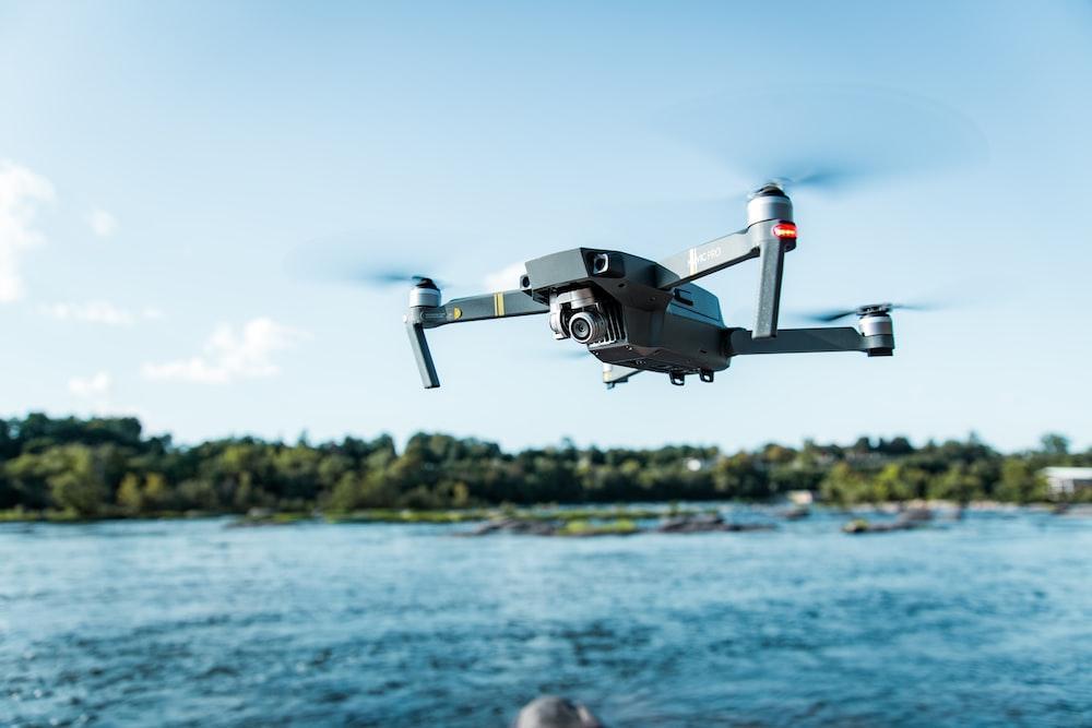
Unsplash
Drones with cutting-edge, high-resolution cameras or LiDAR sensors take on an enthralling airborne journey, unleashing their technical power. With their meticulous sensors, drones for surveying capture every intricate detail, from the gentle undulations of the land to the proud standing of mighty structures.
No stone is left unturned as these technological marvels sweep through the skies, revealing the secrets of the terrain beneath. With their treasure trove of data, surveyors are bestowed with a panoramic perspective, a canvas of knowledge that paints a comprehensive picture of the surveyed domain.
Increased Efficiency
You can witness a symphony of efficiency as drones take to the skies, orchestrating a ballet of data collection that leaves traditional ground-based methods in their wake. With unparalleled swiftness, these aerial prodigies glide effortlessly across vast expanses, covering more ground in moments than ever deemed possible.
They dance to a planned choreography, their flight paths meticulously mapped, ensuring no corner goes unexplored. Automation is their trusty companion, effortlessly capturing a cornucopia of data in a breathtakingly short period. The rewards of their stellar performance are plentiful, giving surveyors expeditious project completion and the sweet sound of cost savings.
Enhanced Safety

Unsplash
With drones, you can go on a daring journey where danger lurks at every turn. In treacherous landscapes, where perils lie in wait, these machines sweep in to banish the need for hazardous manual inspections.
From untamed terrains' rugged slopes to industrial behemoths' bustling hearts, no challenge is too great for their courageous spirits. With each flight, they shatter the shackles of risk, safeguarding the lives of surveyors and daring to venture where others fear to tread.
Safety reigns supreme as these fearless machines shield their human counterparts from the grips of danger, ensuring that surveying becomes a dance with resilience rather than a dance with fate.
Improved Accuracy and Detail
Drones, armed with state-of-the-art sensors, weave a tapestry of data with a masterful touch of accuracy and precision. Like artists of the digital realm, they employ the magic of photogrammetry, capturing a symphony of images from diverse angles and stitching them together to birth three-dimensional marvels.
These virtual replicas breathe life into the surveyed realm, an intricately detailed reflection of reality that defies the boundaries of imagination.
Within their digital embrace, surveyors unlock a realm of limitless possibilities - from precise measurements that defy error to volumetric calculations that reveal the true magnitude of the land.
Cost-Effectiveness

Unsplash
In the age-old battle between drones and traditional surveying methods, drones have emerged as the champions of frugality. With their elegant wings and cutting-edge technology, they defy the need for vast teams of personnel, reducing the expense of the workforce to a mere whisper.
Their data collection prowess becomes the stuff of legends, effortlessly outshining the clunky routines of the past. But the true revelation lies in their ability to dance with time, revisiting sites at will without draining the coffers of fortune.
Environmental Monitoring
When equipped with thermal cameras and multispectral sensors, drones can go on a mission of ecological vigilance. With their watchful eyes and specialized imaging techniques, they delve into the secrets of the natural world, unraveling tales of vegetation vitality, unmasking the invisible specter of water pollution, and exposing the relentless dance of land erosion.
They gaze upon vast expanses from above, painting a comprehensive portrait of environmental health and well-being.
With their aerial prowess, these extraordinary machines transform into the guardians of our precious ecosystems, empowering surveyors to embrace the noble task of environmental stewardship on a scale never before imagined.
Integration with GIS and Data Analysis

Source: Unsplash
Drones can bring data into the fabric of Geographic Information Systems (GIS) software. Surveyors can harness the power of this technological tapestry, unlocking efficiency and understanding. Within the digital realm, advanced analysis awaits, where slopes are dissected, volumes are calculated, and changes are unveiled with a precision that defies logic.
Here lies the gateway to enlightened planning and wise decision-making, where the insights gleaned from the integrated data become the compass that guides us toward a future paved with brilliance.
There is a symphony of drones and GIS, where data becomes a force of illumination, revealing the hidden secrets of the surveyed realm and empowering surveyors with knowledge that knows no bounds.
Bottom Line
Drones can transform the very fabric of surveying. With their wings of innovation, they have shattered the barriers of time, safety, and precision, propelling data collection into a realm of newfound possibilities. Integrating these celestial marvels into surveying workflows gives the industry many blessings. Efficiency becomes the norm, resulting in faster operations and streamlined processes.
Safety guards the brave surveyors against the clutches of danger, while accuracy captivates all with its gaze upon the surveyed realm. Cost-effectiveness illuminates a path of frugality and resourcefulness, and environmental monitoring and data analysis bloom with vibrant hues, empowering surveyors to shepherd the planet. Drones are destined to become the indispensable muse that propels surveying forward.